Architecture · Engineering · Surveying
EVERY BUILDING
STARTS AS A
MEASUREMENT
All of it, under one roof
One team from the first survey stake to the final punch list.
EnvisionYards is a fully integrated design practice with studios in the Philadelphia region, northern New Jersey and the Delaware coast. We are architects, civil and structural engineers, and licensed land surveyors working from a single set of drawings. Since 1994 we have delivered work for commercial developers, municipalities, institutions and private owners across fourteen states.
Keeping survey and engineering in-house changes the economics of a project. Boundary conflicts, easement encroachments and grading problems surface during due diligence rather than during construction, when they are expensive. Our drawings are coordinated because the people producing them sit in the same room.
Three disciplines, one set of drawings
What we do
Most projects need all three. Buying them from three separate firms is how coordination gaps get created. We removed the gaps by removing the seams.
Architecture
Buildings that are as practical to build as they are to look at.
Programming through construction administration for commercial, multifamily, municipal and institutional work, plus a selective custom residential practice.
Explore → 02Engineering
Civil, structural and site engineering that carries the design.
Site and utility design, stormwater management, structural systems, traffic and circulation studies, and the permit packages that get them approved.
Explore → 03Surveying
The measured record every other discipline depends on.
ALTA/NSPS land title surveys, boundary and topographic work, construction stakeout, 3D laser scanning and drone photogrammetry, performed by licensed professional surveyors.
Explore →Selected work
Recent projects
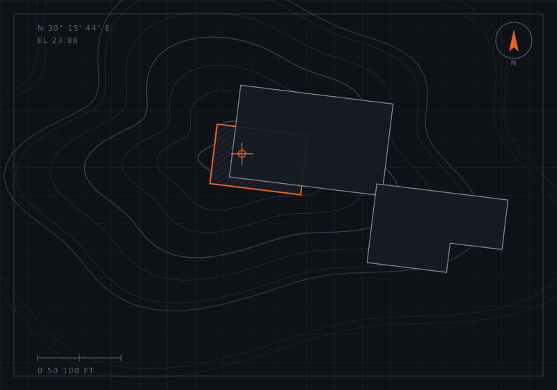
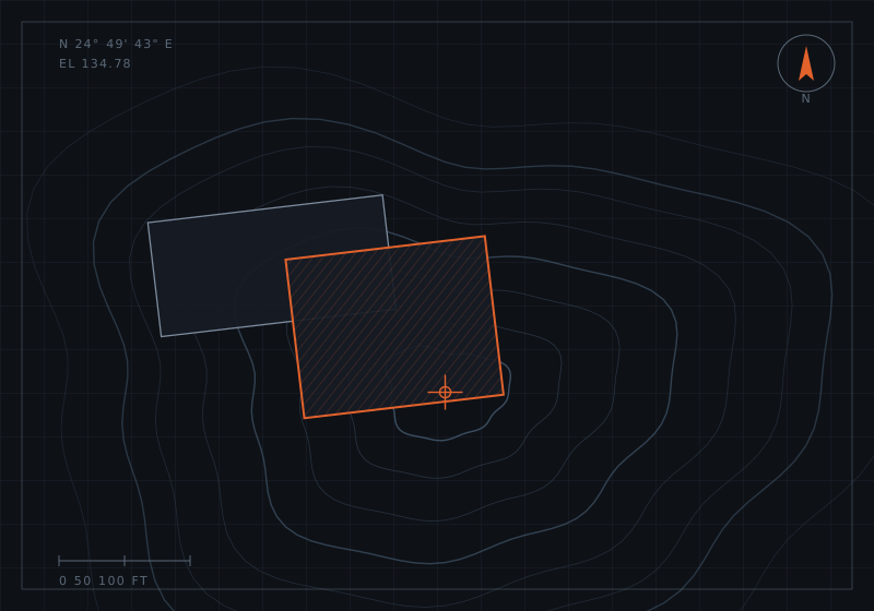
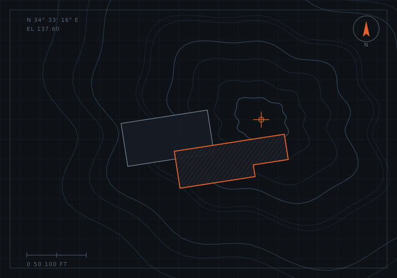
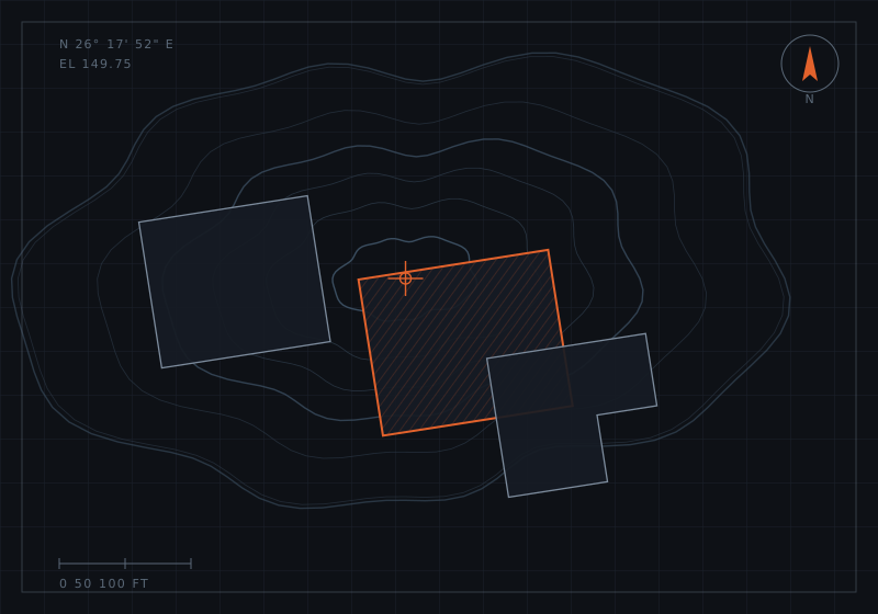
Commercial, municipal, industrial and residential work across the mid-Atlantic. Every one of these began with our own survey.
How a project runs
The first three moves
Nothing gets designed until the site has been read properly. It is slower for three weeks and faster for the following two years.
Discovery & Due Diligence
We start with the record: deeds, prior surveys, title commitments, zoning ordinances, wetlands and floodplain mapping, utility records. The output is a written feasibility memo that says plainly what the site will and will not support.
Survey & Site Intelligence
Our own crews establish boundary, topography and existing conditions. Where the site warrants it we add drone photogrammetry or terrestrial laser scanning, so design begins on a survey we can stand behind.
Concept & Feasibility
Two or three real options, tested against the constraints map and priced. We would rather kill a bad scheme in week four than defend it in month nine.
Insights
From the studio
Practical notes on surveying, engineering and getting things approved.
Why your ALTA survey is late, and what to do about it
Nine times out of ten the delay is not fieldwork. It is the title commitment arriving without the underlying easement documents.
Stormwater decides your site plan. Design it first.
Basin location is not a detail to resolve after the buildings are placed. On most sites it is the strongest constraint you have.
Scan-to-BIM is now cheaper than being wrong once
The cost of laser scanning an existing building has fallen below the cost of a single significant field conflict.